Centennial Trail one step closer to completion with expected council vote
By the end of next year another gap in the Centennial Trail will be gone.
Almost 2 miles of the trail was paved this year from Riverfront Park through Kendall Yards in the West Central Neighborhood, offering some of the most dramatic views along the 60-mile trail.
“Every time you go over there, there are more people using the trail,” Spokane City Council President Ben Stuckart said.
Today, the city likely will commit to improving another segment of the trail, which turns 25 next year.
The Spokane City Council will consider a $472,000 contract for MDM Construction of Hayden to build the trail along Summit Boulevard from where the trail ends in Kendall Yards, at Bridge Avenue, to Boone Avenue. Construction would start in the spring. The cost would be covered using a federal grant.
Although most of the Centennial Trail is complete – it stretches from Riverside State Park to Lake Coeur d’Alene along the river – some portions remain on streets. The project the City Council will consider today would move a portion of the trail from Summit Boulevard to a former rail line once used by the Great Northern Railroad. Where the railroad grade ends, at the point a giant trestle once crossed the Spokane River, the trail will be carved up an embankment to Boone and Summit. From there, the official trail will be back on Summit.
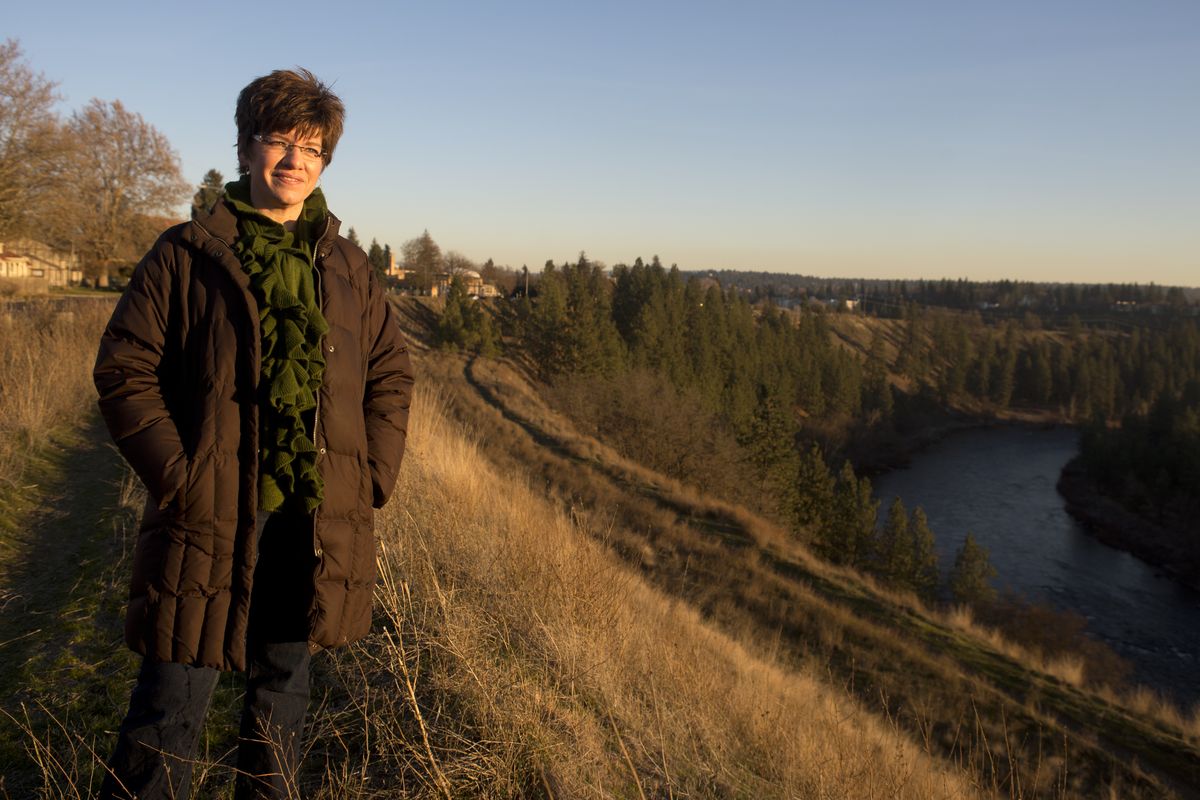
Loreen McFaul, executive director of Friends of the Centennial Trail, said that with increased use as a result of this year’s project, the nonprofit group is working to improve signage so people can find the trail and aren’t confused where it goes once they’re on it.
“Folks can’t find the trail if you’re visiting or new to town,” she said.

It’s unclear what the permanent path of the trail will be north of Boone and Summit. A 2007 study commissioned by Friends of the Centennial Trail came up with three alternatives. The first would improve conditions of the current route along city streets, Summit, Pettet Drive (Doomsday Hill) and across the Spokane River on the T.J. Meenach Bridge into Riverside State Park.
Another option would go through the Sans Souci West mobile home park (site of the former Natatorium Park) and cross the river over an existing utility bridge.
A final option would use a trail where a streetcar used to travel to Natatorium Park along an embankment between Summit Boulevard and the mobile home park. Beyond where the Natatorium streetcar station used to be located, a trail to the existing utility bridge is too steep to comply with the Americans with Disabilities Act, so this option would require building a high-level bridge across the river.
Friends of the Centennial Trail prefers to improve the current path along city streets. That option was estimated to cost less than $400,000 in 2007. Using the utility bridge was estimated at $5.5 million and the option with the new bridge was estimated at $9.3 million.
McFaul said the group is open to the higher-priced options, but given other priorities for improving the trail, the cheaper option is most realistic.
Councilman Jon Snyder said the city shouldn’t give up on the other alternatives, in part, because the option with the new bridge would make it easier for residents in the West Central neighborhood to walk to Spokane Falls Community College.
“It would make such a direct connection from West Central – a neighborhood that needs more connection to education,” he said.