Weekend weather: Stormy weather to continue

The storm track across the North Pacific Ocean is reasserting itself in the Inland Northwest through the weekend.
A large area of lower air pressure is accompanying a vigorous jet stream to bring periods of rain and snow to lower elevations and snow to the mountains.
Much of the storm flow will be out of the west, which favors snow accumulations in the mountains, National Weather Service forecasters said.
That should bring enough snow to boost the region’s snowpack, forecasters said.
“The mountains of the north Idaho Panhandle and the northern Cascades should receive the highest amounts with well over a foot” through Thursday, according to a Wednesday morning forecast discussion from the weather service.
“Lesser amounts are expected for the Central Panhandle,” the report said.
The stormy period is likely to include gusty winds across the region with the strongest winds expected along ridgelines in the mountains. Friday is the most likely time frame for the winds out of the southwest.
Skiers should be aware of the potential for strong gusts on Friday.
The lowlands may also see strong gusty winds.
Highs in Spokane are expected to be in the lower and middle 40s with lows in the lower 30s.
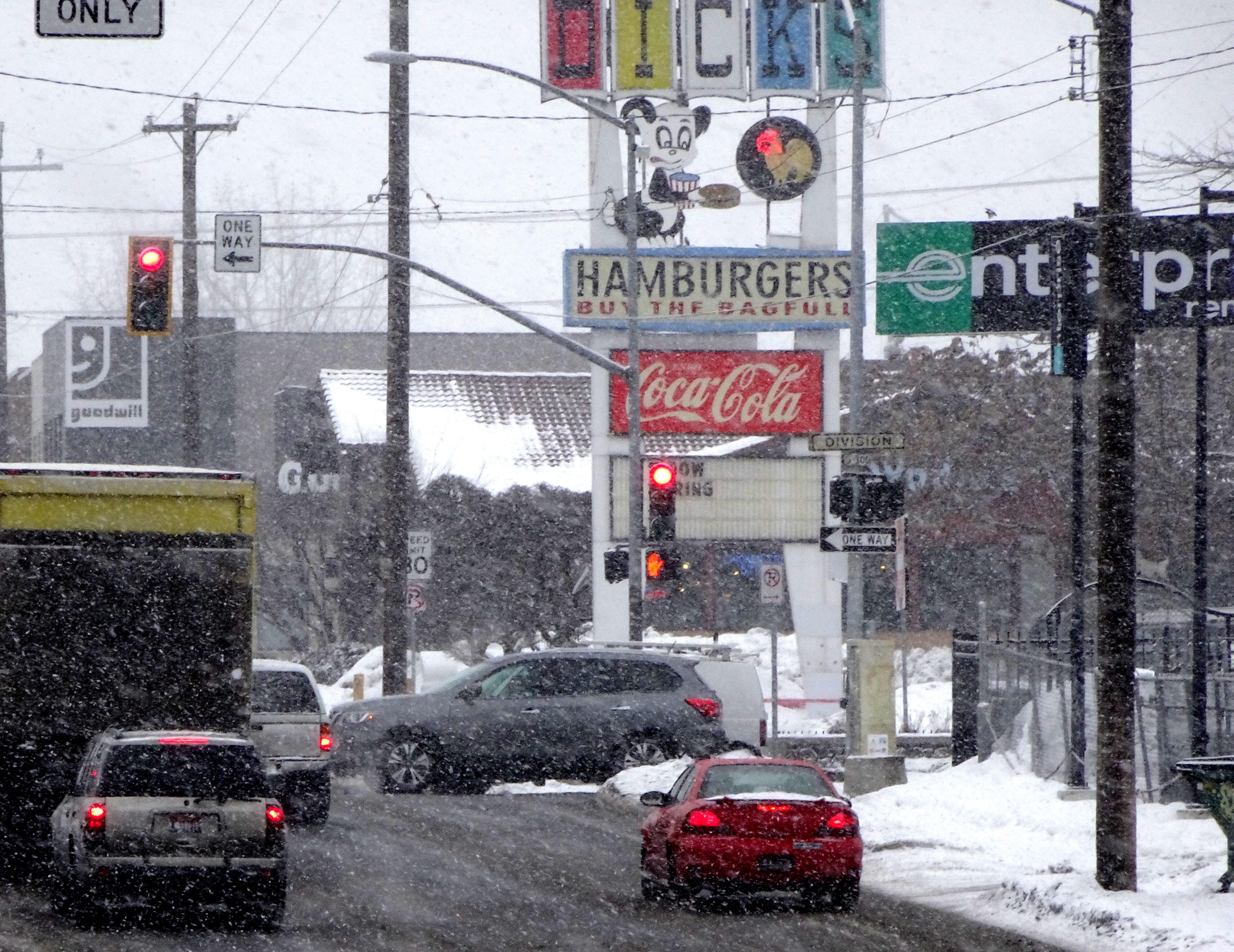
Periods of rain or snow showers are expected through the weekend in the lowlands.
In the mountains, up to another foot or more of snow is possible through Saturday. Daytime highs will reach the lower to middle 30s at 5,000 feet in elevation.
In Spokane, the month of February brought 19.8 inches of snow, which was 13 inches above normal for the month.
That brings the season’s total in Spokane to 55.6 inches, which is 15.3 inches above normal through Feb. 28.
Since October, Spokane has seen 15.5 inches of precipitation, which is 6.6 inches above normal.
The normal temperatures in Spokane for this time of year is 44 for a high and 28 for a low.
Daylight now lasts for more than 11 hours a day with sunrise at 6:28 a.m. and sunset at 5:37 p.m. on Thursday.