Wild recreation wonderland taking shape on Post Falls Community Forest
While autumn leaves are falling this month, trails are blooming at the 518-acre Post Falls Community Forest – a local recreation treasure in the rough that’s less than a mile off Interstate 90.
The city’s Parks and Recreation Department has published a map of the still-evolving trail system on the recently packaged block of mostly undeveloped public land. About 10 miles of trails can be linked into about 20 miles of loop routes.
The trails enable nonmotorized travelers to explore features ranging from vertical granite cliffs and two miles of Spokane River shoreline to small former farm fields and then off to a wildernesslike experience with tucked-away wetlands and larch and aspen groves.
Bring a daypack with lunch and beach towel, a fishing rod or rock climbing gear to round out the experience.
Two Eagle Scout candidates have been marking the trails with easy-to-follow color-coded trail symbols, parks manager Bryan Myers said.
“I’m not sure when they’ll be finished, but they’re getting there,” he said.
The trail system offers a span of options, including old road beds enabling visitors to walk three abreast. About half of the routes are single track, some suited for mountain bikes. Others are have sections that are too steep or rocky to ride.
Perhaps the easiest route through the area is the Purple O Trail starting from the new Riverview Drive trailhead on the south side and heading downhill to the river. The route ends after 3 miles at the older trail system and trailhead at Q’emiln Park. It’s well-signed, with a couple of minor exceptions, and hosts growing numbers of hikers on a combination of double track and single track.
Experienced hikers looking for something a bit more challenging can combine the Purple O Trail with the Purple Diamond Trail to form a 6-mile loop that circumnavigates the community forest. Until trail markers are installed at a few key places, the Purple Diamond Trail requires moments of patient route-finding in a few spots, which adds interest to the trek.
Exploring the loop recently, I made the following notes that other hikers might find helpful.
- Print out a trail map from the parks web page before heading out, https://bit.ly/2yVtIhh.
- Starting from Riverview Drive trailhead, bear left on Purple O Trail. Soon, the route turns right (downhill) on a private paved road. According to Myers, the city has an easement that allows the public to follow this paved road downhill (passing two green gates on the left) to where the marked trail heads off to the right and through a green gate.
- After hiking along the Spokane River, the trail fades as you hike along a beach. Stay left near the shoreline on a faint single track. (A double track trail picks up here and angles right away from the shoreline.) Purple O Trail soon becomes more obvious.
- The trail ends at the South Channel Dam Overlook. If you left a shuttle vehicle here, you’re finished after 3 delightful miles. To make the loop, hike north along the edge of the parking lot, past the Q’emiln Park Trailhead, all the way to the parking area entrance gate (portable toilet here) and start the return on the Purple Diamond Trail at the Old Wagon Road.
- Be prepared for a few short descents on steep, rocky areas.
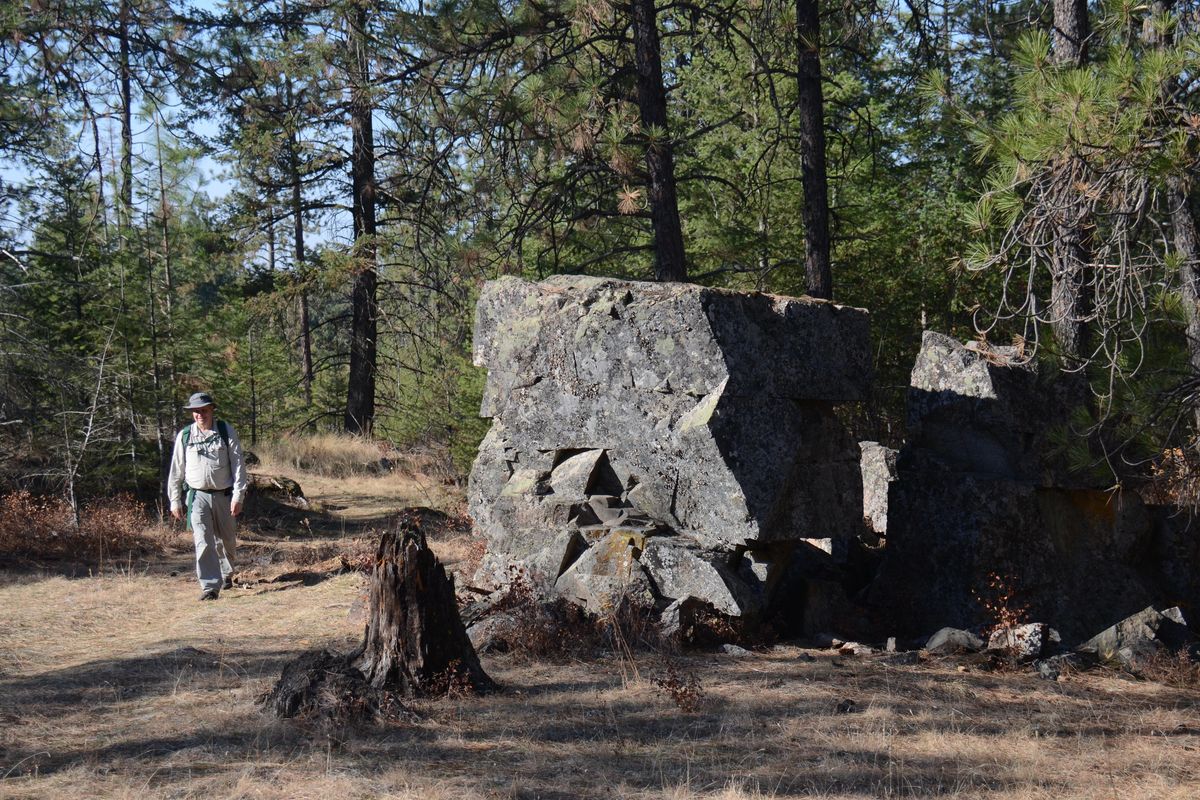
- Allow time for watching climbers scale vertical cliffs.
- Midway through the route, the trail makers are still being installed in some stretches. Take time to look for flattened grass and bare dirt patches indicating the path. In some places, orange paint indicates where trail signs will be put up. Refer to the map as you go. It’s doable with a little effort. Hikers have built a few cairns to aid navigation.
- Allow time to appreciate autumn colors exploding with yellows of larch, aspen and cottonwood.
- On an open ridge at a huge, gray, gnarly blowdown tree, look for the trail faintly dropping down along its left side.
- While looking at the ground for the path, keep an eye out for sign of deer, coyotes, moose and the occasional bear.
- Trail markers pick up again after passing the junction with the Red O Trail. Brace for one good climb before the trail moderates and leads back to the Riverview Drive trailhead, where there’s a vault toilet.
Although some people have trespassed into this area for years, it only recently became public land.
The 58-acre Q’emiln Park, including green grass, picnicking areas and boating facilities, was established in 1987 with a wild side of marked interpretive trails that evolved from the active rock climbing community.
In 2005, Post Falls purchased the 76-acre “Kroetch parcel,” opening the community forest area to public access.
In 2015, the City’s Water Reclamation Division purchased 248 acres of forested property known as the Lost Mine parcel located between the Q’emiln trails and Kroetch parcels. The land was acquired for installation of drip irrigation systems that will dispose of treated wastewater to improve water quality in the Spokane River, but recreation is a big bonus.
Another 128 acres were purchased in 2016.
While serving several environmental and educational purposes, the forested property across the Spokane River from housing developments, is sprouting with trails that lead to healthy exercise, wildlife observations, snowshoeing adventures and spring wildflowers.
Q’emiln Park will be the winter access for snowshoers heading into the Community Forest. Myers said plowing is not in the plans for the Riverview Drive parking area.
“We’re starting to see the increased usage throughout the area as word gets out,” Myers said, noting that trails will continue to be improved, largely with the muscle power of volunteers, for years to come.