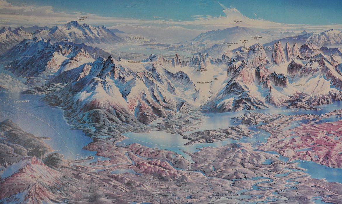
This illustrated map at the park entrance station shows the stunning topography of Chile's Torres del Paine National Park. On left is Lake (Lago) Grey and the "western prong" of The W route. In the center is the French Valley and the "center prong" of The W. The "eastern prong" of The W to the towers (torres) is just off the map on the right.
Section:Photo

Rich Landers
Share on Social Media