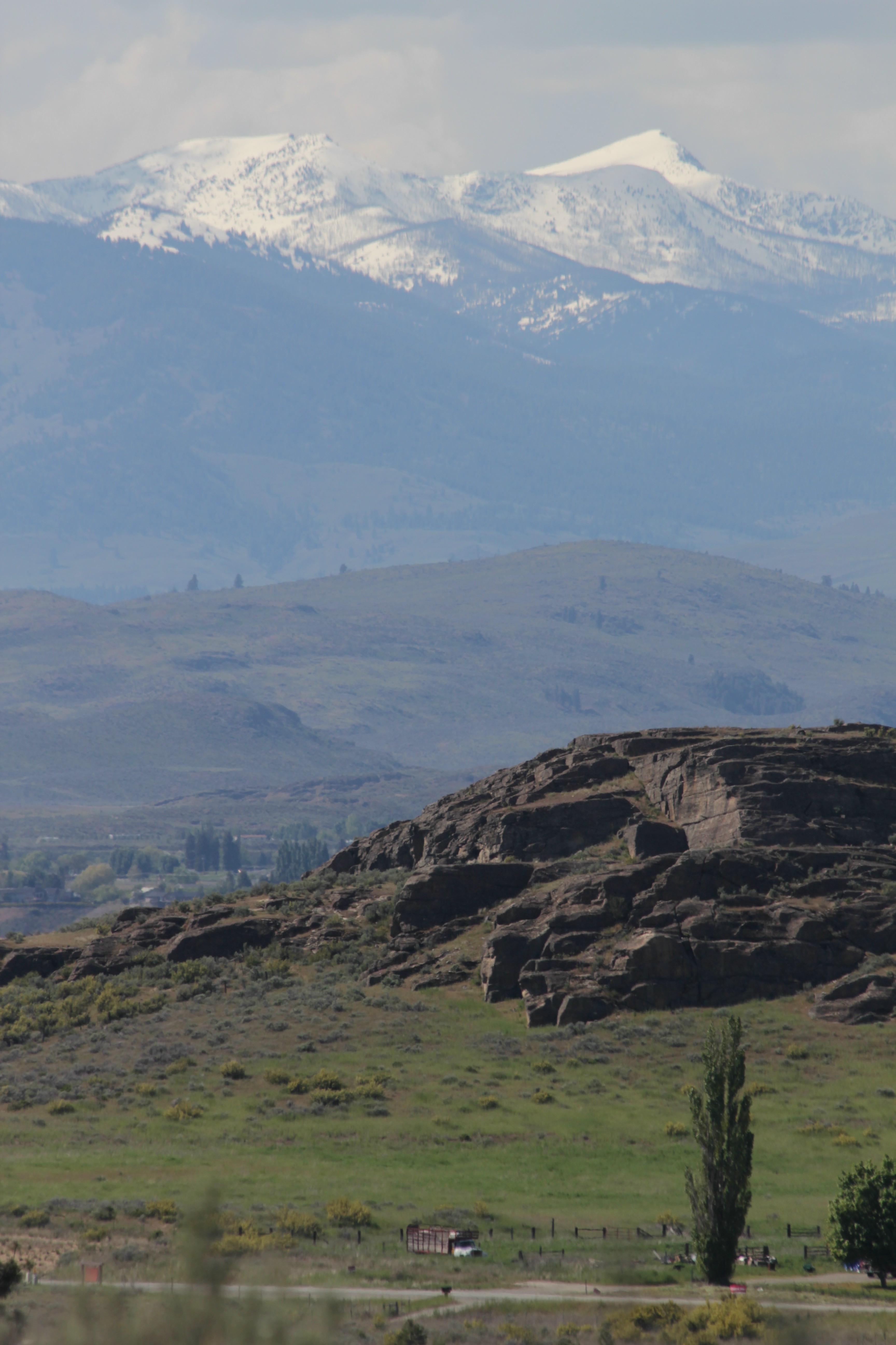
The mountains in Okanogan County show the remaining snow pack that is causing high water and flooding this spring. (Bill Morlin)
Warm spring weather should continue today and into Saturday until a chance of rain or showers arrives on Sunday.
Highs today may reach the middle 70s in Spokane and Coeur d’Alene. Lows tonight should be in the upper 40s.
A weak cold front is expected to cross the region during the weekend, increasing the risk of rain. The greatest chance of rain is on Sunday.
Temperatures over the weekend will go from the lower 70s on Saturday to the upper 60s on Sunday.
By Monday, highs may only get to the middle 50s with a 70 percent chance of showers.
The warmer weather this weekend should continue the melt off of snow in the mountains. Lakes and rivers are expected to be at or just below flood stage.
The Spokane River has crested and is now just below flood stage at 32,400 cubic feet per second. Flood stage is at 32,500 cfs. The river could rise again next week, but only minor flooding is expected.
The late arrival of warmer weather in the mountains has left a snow pack that is 150 to 200 percent of normal for this time of year.
At 7 a.m., it was 55 at Spokane International Airport and Felts Field, 54 in Coeur d’Alene, 56 in Deer Park and 51 in Pullman.