Winter Storm Warning in effect for Spokane through Monday afternoon
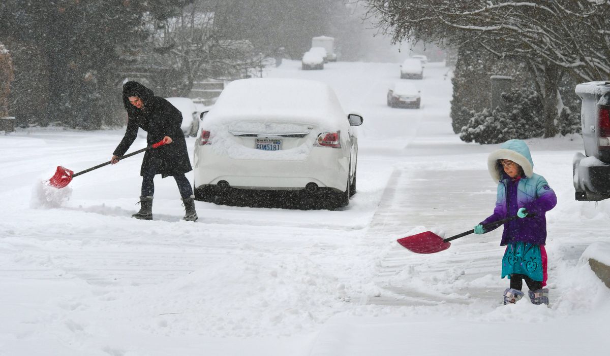
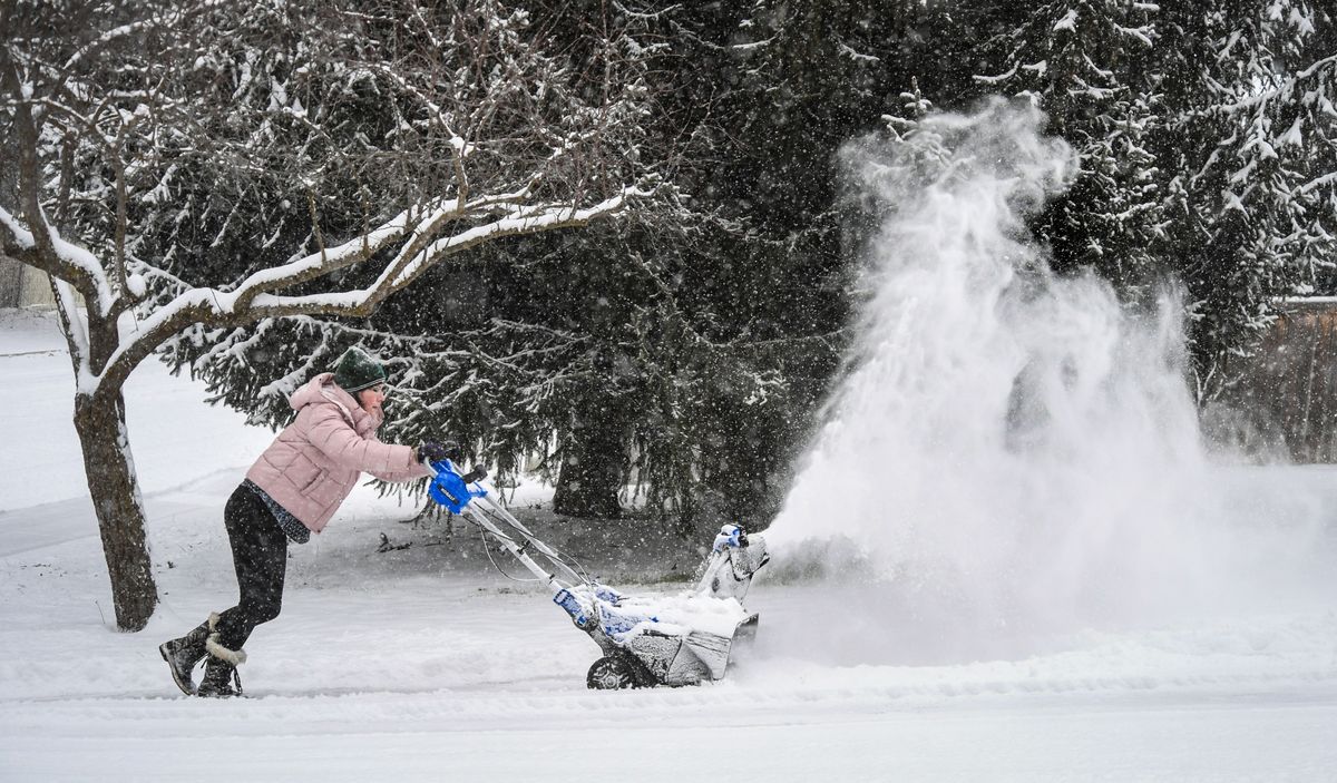
After months of minimal snowfall, a winter storm brought about 4 inches of snow to the Spokane region.
Meanwhile, a 72-mile stretch of Interstate 90 across the Cascades will stay closed into at least Tuesday morning due to “extreme avalanche danger,” according to the state Department of Transportation.
Over a 24-hour period beginning 4 p.m. Sunday, approximately 3.8 inches of snow fell at Spokane International Airport, according to the National Weather Service.
“This was more of an impactful storm that we’ve had since December,” said Laurie Nisbet a meterorologist with the weather service in Spokane.
The state Department of Transportation said I-90, from milepost 34 at North Bend across Snoqualmie Pass to milepost 106 near Ellensburg, will stay closed through at least Tuesday morning when the area will be re-evaluated to determine a safe time to reopen. Alternative routes are U.S. Route 2 (Stevens Pass) and U.S. Route 12 (White Pass), according to the DOT.
At least eight collisions, two involving commercial vehicles, occurred in a span of 45 minutes late Monday morning on I-90 going both directions in Spokane Valley. No more than one lane was blocked at a time between the Argonne and Barker exits, according to the Washington State Patrol.
The Spokane Fire Department responded to 10 calls related to cold exposure from midnight on Valentine’s Day to 6 a.m. Monday morning, said Chief Brian Schaeffer. People are typically evaluated and directed to a shelter if they are unhoused, Schaeffer said.
Meanwhile, City of Spokane crews were out late and morning crews came in early to prevent a gap in the sanding, deicing and plowing of city streets, according to a tweet from the city. A full-city plow was launched Monday morning that usually takes crews working 24 hours a day for three days to complete, according to the city.
Crews focused on arterials Monday morning, while teams planned to deploy to residential areas at 5:30 p.m. starting with hilly neighborhoods. Vehicles should be parked on the odd side of the street in residential areas. Special plows with snow gates will be used to avoid leaving berms at the end of driveways, according to the news release.
Plowing in the downtown area had yet to be scheduled as of mid-day Monday.
Seniors and disabled people who many need help removing snow from their driveway and sidewalks can call 311 to be connected with resources for shoveling sidewalks.
The storm was forecast to move out of the Spokane area Monday evening.
“There might still be some light snow over southeastern Washington and North Idaho through Tuesday,” Nisbet said.
Anticipated high temperatures for Tuesday and Wednesday are around freezing with the potential for fog Wednesday, Nisbet said. While the snow might become more compact, it’s unlikely there will be significant snow melt until Thursday with a high of 35 degrees.
“If we can get some sun breaks even though it’s below freezing or around freezing, that will probably help melt the snow,” Nisbet said.
The next weather system is forecast to move into the Spokane area Thursday, likely bringing some precipitation with temperatures right around freezing, Nisbet said. She said she is unsure if it will be rain, snow or a mix.
Temperatures are expected to continue to climb through the end of the week, hitting 40 degrees by Sunday – though the weekend likely will be “pretty breezy,” Nisbet said.
Reporter Greg Mason contributed to this report.