Weathercatch: January 2022 a lesson in contrasts
The first month of 2022 saw a split in the weather pattern that produced a tale of two Januarys in the Inland Northwest. The feisty weather at the beginning gave way to more docile conditions during the latter half – that is, until Jan. 31.
Lingering arctic air kicked off the month, with a low of 1 degree recorded in Spokane on Jan. 1 and a high of 15. Overall, the temperature ran 20 degrees below normal for that date. Snowfall also launched the month, with 2.9 inches falling on Jan. 3, another 1.9 inches on Jan. 5 and 5.3 inches on Jan. 6. On that date, the National Weather Service recorded 9 inches of snow on the ground.
But the blanket of white turned downright messy after falling snow changed to freezing rain, followed by 0.37 of an inch of straight rain. On Jan. 7, a storm system triggered a rapid rise in temperatures and widespread gusty winds. Spokane reached a high of 41 degrees, Wenatchee, 42 degrees and Yakima, 50. Meanwhile, wind gusts topped out at 48 mph in Spokane, 49 mph in Wenatchee and 58 mph in the Pullman-Moscow area.
Resulting mounds of thick slush and standing water in the streets snarled rush-hour traffic and forced local school districts to cancel or delay classes on Jan. 7. Then, overnight temperatures dropped to below freezing and much of that melting snow and runoff refroze into ice. Conditions remained icy for a few days until a ridge of high pressure brought milder temperatures and ice melt. On Jan. 12, Spokane reached a high of 42 degrees. From then on, with the exception of a half-inch of rain that fell on Jan. 20, conditions remained mostly dry until the last day of the month. Also, temperatures stayed mild enough to offset the cold weather earlier in the month, making the overall temperature normal for January.
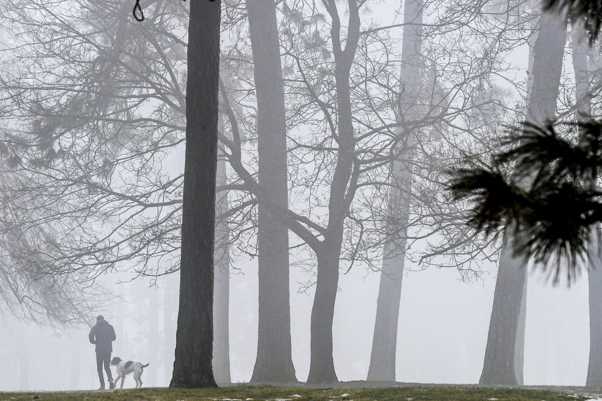
Starting in mid-January, stagnant and warmer temperatures aloft combined with plenty of moisture from melting and evaporating snow on the ground helped fuel the formation of fog. Sometimes it was dense. Other times, it was misty. Often the fog would burn off, only to return the next day. Oh, and we saw lots of low-level cloudiness. Although conditions were warmer and more stable than earlier in the month, the combination of overcast skies with fog made it downright dreary at times.
Spokane and its surrounding areas encountered slick roads this past Monday morning after a mix of light snow and rain fell overnight. Monday also brought wet snow and rain, along with gusty winds that ushered in a cold air mass to start February. Although much colder temperatures dominated Groundhog Day on Wednesday, they’re now inching upward as the cold air mass retreats in time for the weekend.
Nic Loyd is a meteorologist in Washington state. Linda Weiford is a writer in Moscow, Idaho, who’s also a weather geek. Contact: ldweiford@gmail.com.