Monday’s inundation pushes month past snowfall record
Monday’s inundation pushes month past snowfall record
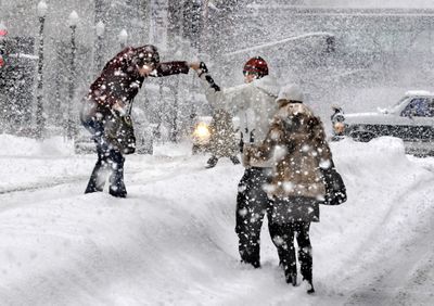
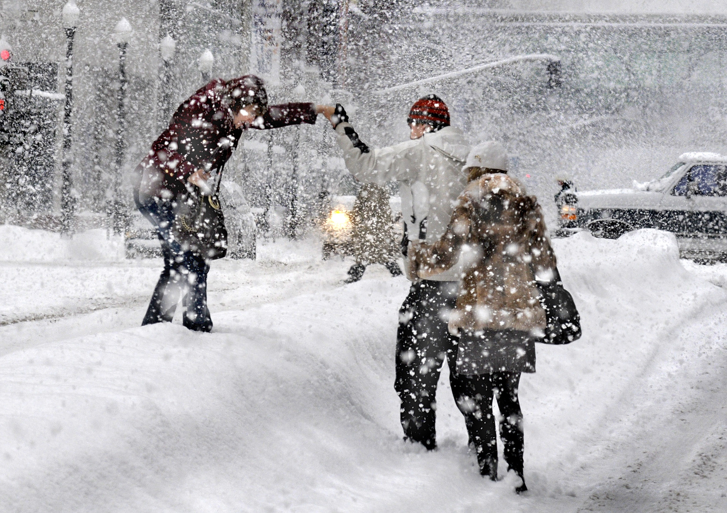
The latest in the ongoing succession of snowstorms closed roads and left Spokane covered in an all-time record: the most snow in any month since record keeping began in 1881.
More snow is expected through the weekend, beginning again tonight.
On Monday, much of the Inland Northwest came to a near standstill as heavy snow turned the morning commute into an all-day crawl, and afternoon winds threatened to close outlying roads. Traffic on Interstate 90 through Spokane moved at only 25 mph in some places.
Officially, 8.3 inches of snow fell Monday at Spokane International Airport, bringing the December total to 59.7 inches and breaking the monthly all-time record of 56.9 inches set in January 1950.
More snow was reported at other locations, including 11 inches at the National Weather Service office on North Rambo Road northwest of Airway Heights.
“I heard we were going to get 13 inches in three days. I didn’t know we were going to get it all today,” joked Everett Wright, of Spokane.
Temperatures above freezing in Spokane allowed for traffic to pack the heavy snow into a thick layer of slippery snow and ice.
Winds gusting to 46 mph or more blew snow across roadways and closed Airport Drive between U.S. Highway 2 and Spokane International Airport as well as U.S. Highway 195 near Spangle, state troopers said.
Spokane plows retreated to major arterials at midday, including Francis, Wellesley, Second, Third, 29th and 37th avenues; Maple, Ash, Stevens, Division, Market, Thor and Ray streets; and the South Side corridor of Grand Boulevard, Stevens and Bernard streets.
Spokane County crews returned to plowing primary arterials and emergency routes with help from the Washington Air National Guard’s 141st Refueling Wing, county officials said.
Around noon, two streets were closed in Spokane: the Monroe Street hill on the South Side and Browne Street from Fifth Avenue to Sacred Heart Medical Center, officials said.
A firetruck got stuck in front of Station No. 1 at Riverside Avenue and Browne Street, a police car got stuck downtown, and two Spokane Transit Authority buses were involved in accidents, including one at Division Street and Mission Avenue this morning.
Traffic lights were reportedly not working at some intersections.
The afternoon commute got even more difficult in exposed locations as winds began blowing. A gust of 46 mph was recorded in Coeur d’Alene. Airports in Spokane and Pullman saw gusts of 41 and 52 mph, respectively.
The Spokane Fire Department reported that the weight of accumulating snow and rain was taking its toll on some buildings and gas lines.
Prior to the Monday afternoon collapse of a roof at a Rosauers store at Five Mile, the department said the city had six incidents involving natural gas leaks where snow or ice fell and sheared off gas meters; two chimney or stovepipe collapses; and 15 roof collapses involving buildings and carports. Coeur d’Alene had two awnings and one carport collapse so far.
Arrivals and departures for Southwest Airlines in Spokane were canceled because of bad weather, a Southwest representative said. The airline was to resume service later on Monday. Other airlines reported delays.
Spokane Transit Authority reported that all of its scheduled routes were operating, but warned riders of possible delays.
“At this point and time we have all the routes running, but with some detours,” said Molly Myers, STA spokeswoman. She recommended checking www.spokanetransit.com or calling (509) 328-RIDE for current bus information.
The next storm is anticipated this evening continuing into Wednesday. A 50 percent chance of snow is forecast for Thursday with snow on Thursday night and rain on Friday. Snow showers or a chance of snow remain in the forecast through the weekend.
“The train of storms continues,” said forecaster John Livingston.
In the mountains, forecasters said several feet of new snow should pile up by the end of the week. At 49 Degrees North ski area, the top of Chewelah Peak had 69 inches of snow Monday morning, with 58 inches of snow at the lodge.
Similar amounts were reported at Schweitzer Mountain Resort on Monday.
Temperatures for the Inland Northwest are back down into the lower 30s and 20s after Sunday’s warmer weather, according to the weather service. The highs and lows for the week should stay in that range.