Taking physics out of the lab
Whitworth students launch, track a high-altitude balloon

RITZVILLE, Wash. – Weight. Trajectory. Wind direction and speed. Rate of ascent and descent.
Physics students from Whitworth University planned for every contingency before launching a high-altitude balloon Thursday.
Everything, that is, except lunch.
“We’ve lost it,” professor John Larkin confirmed, when the group exited Ritzville’s Subway restaurant to find that the balloon’s descending instruments could no longer be tracked by computer.
The day had started about 60 miles to the southwest, at Potholes State Park. Men in camouflage returned from their morning hunt to find the students inflating the giant latex balloon near the boat launch.
The young physicists attached a tail of foam pods the size of shoe boxes, each carrying instruments to measure such things as ozone, UV light, temperature and variations in Earth’s magnetic field. They had built the circuitry themselves and in some cases designed computer programs to serve up the data.
One pod carried three digital cameras, pointing up, down and sideways. Another carried two Geiger counters.
“We’re measuring cosmic radiation as a function of altitude,” senior physics major Jenna Cunningham of Central Point, Ore., said of the pod created by her group of four students.
The pods were linked in a chain of nylon cord and fishing swivels designed to break at 50 pounds pressure “in case it hits a plane or something,” said Joel Grette, a senior from Wenatchee whose majors are physics and economics.
Up, up, up went the helium-filled balloon and its eight pounds of cargo. Up at a rate of 1,700 feet per minute. The students waved goodbye to the disappearing dot in the sky, then loaded into a Whitworth van, where several would watch the laptop computer that tracked the balloon’s location, speed and altitude.
Thursday’s was the first such launch for Whitworth, where physics is an increasingly popular major and some students go on to internships at NASA. It was funded by a grant from the National Science Foundation, through Taylor University in Indiana.
Based on experiences at Taylor and other schools, the Whitworth class predicted the balloon would expand from 8 feet in diameter to about 32 feet as it rose through the atmosphere. It would soar high enough to photograph the curvature of the earth and record temperatures of 40 below zero.
At first, everything went as expected. The balloon headed northeast, bursting at 98,000 feet. In the thin air of near space, the pods fell at a rate of nearly two miles a minute. Nearer to earth, the parachute began taking effect, and the descent slowed to the speed of a feather.
It would take an hour for the chain of pods to hit ground somewhere in the Lincoln County scrub. Why not stop for a quick lunch?
Slightly south of Davenport, 19,000 feet. That was the instruments’ last recorded position.
“So,” said Larkin, “we head for its last known location” and start looking.
With the pods in the air and the van reasonably nearby, the signal wouldn’t have been hard to pick up. It might never have been lost, Larkin said, if not for the temptation of cold cuts and condiments.
But finding the package on the ground was a long shot that depended on the terrain, the position of the pods when they landed and the longevity of the batteries in the sending unit.
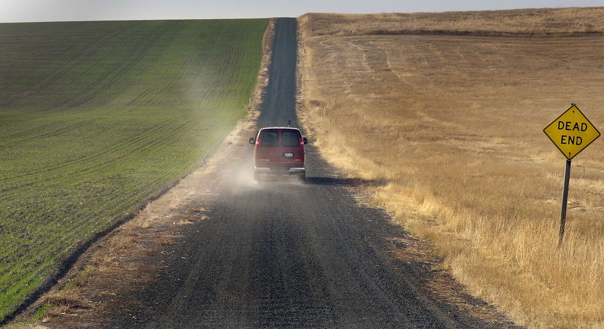
The Whitworth van did not travel every dirt road near of Davenport on Thursday. It did not visit every hollow. The students did not scan every knoll, hoping for a glimpse of the red parachute.
It only seemed that way, hours later, when the computer picked up a reading near Hurley Lake, about 10 miles west of Davenport.
The students’ cheers were followed by disappointment when Larkin told them it was too late to locate the landowner and get permission to retrieve their work. That chore, he said, would have to wait a day.