Headed for a deep freeze
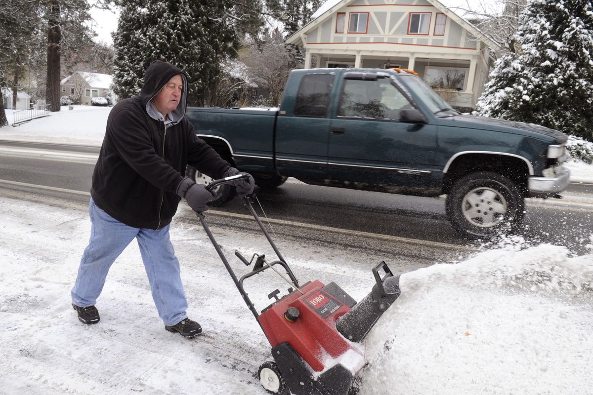
Inland Northwest residents will be digging out this morning from the first major winter storm of the season – one that brought blizzard conditions in a blast of arctic air.
The three-day storm was expected to come to an end as travelers prepare to embark on one of the busiest travel periods of the year.
AAA is forecasting that 42.2 million Americans will travel at least 50 miles from home for the Thanksgiving holiday, the vast majority of them by automobile.
National Weather Service forecasters said the first part of the holiday period should provide a break in snow storms, but a new system is expected to arrive in two phases on Thursday and again on Friday night.
As much as 8 new inches of snow is forecast in the Spokane and Coeur d’Alene areas from the storm later this week, which will coincide with Black Friday, one of the busiest shopping days of the year as many stores offer their best deals of the season.
That end-of-the-week storm “looks like it could be an even bigger event snow-wise,” said forecaster Greg Koch.
Gusty winds overnight are expected to subside after dawn today, but the effect of cold and wind on exposed skin will feel like minus-10 to minus-20 degrees.
Children waiting for school buses need to be protected from the cold.
“Wind chills will be an exceptionally serious situation,” Koch said.
The winds prompted a blizzard warning for the Spokane area, upper Columbia Basin and North Idaho for Monday night and this morning.
Emergency workers were bracing for another round of auto accidents this morning, after slick roads contributed to scores of accidents on Sunday and Monday.
The Washington State Patrol temporarily closed eastbound lanes of Interstate 90 at the base of Snoqualmie Pass in the area of Denny Creek after numerous Monday afternoon accidents and slideoffs. The freeway reopened a short time later.
The Spokane County Sheriff’s Office reported more than 40 accidents from midnight to noon on Monday.
The WSP in the Spokane area had more than 40 accidents Sunday evening as the storm got started.
Today’s high may only reach 10 degrees in Spokane. A high of 11 is possible on Wednesday before temperatures start to moderate. Thanksgiving may reach 19 degrees in Spokane.
Record cold is expected tonight in many locations. Forecasters are calling for minus 8 in Spokane, minus 18 in Sandpoint, minus 20 in Bonners Ferry and minus 8 in Pullman.
Lows should moderate some by Wednesday night when a low of zero is forecast for Spokane, and then 16 by Thursday night.
Some of the strongest overnight winds were expected near Sandpoint and Bonners Ferry where the Purcell Trench provides a gap in the mountains to allow low-lying arctic air to flow southward into the low pressure area that caused the snowfall overnight.
The Okanogan Valley also was expected to see high winds overnight.
A La Niña cooling of the tropical Pacific Ocean is causing storms to form along the western U.S. on the east side of a large system of higher air pressure.
A large low-pressure area in northern Canada is helping funnel arctic cold southward this week.