Weathercatch: From a polar plunge to Pineapple Express
The atmospheric river that swept through Washington state late Sunday night through Monday of this week was packed with more than wind gusts and rain. It was also packed with irony.
The channel of warm, wet weather originated in the tropical Pacific Ocean west of Hawaii – an event that’s often referred to as the “Pineapple Express.” This particular one brought winds, precipitation and unseasonably warm temperatures to our state. Here in the Inland Northwest, it gave rise to temperatures in the mid- to upper 40s.
An atmospheric river is a long channel of moisture carried by the jet stream that typically brings warm winds, rain and snow to the western U.S. The recent tropics-based system that made landfall along the Oregon and Washington coastlines on Sunday afternoon streamed eastward, eventually making its way across the Cascade Range and into Eastern Washington.
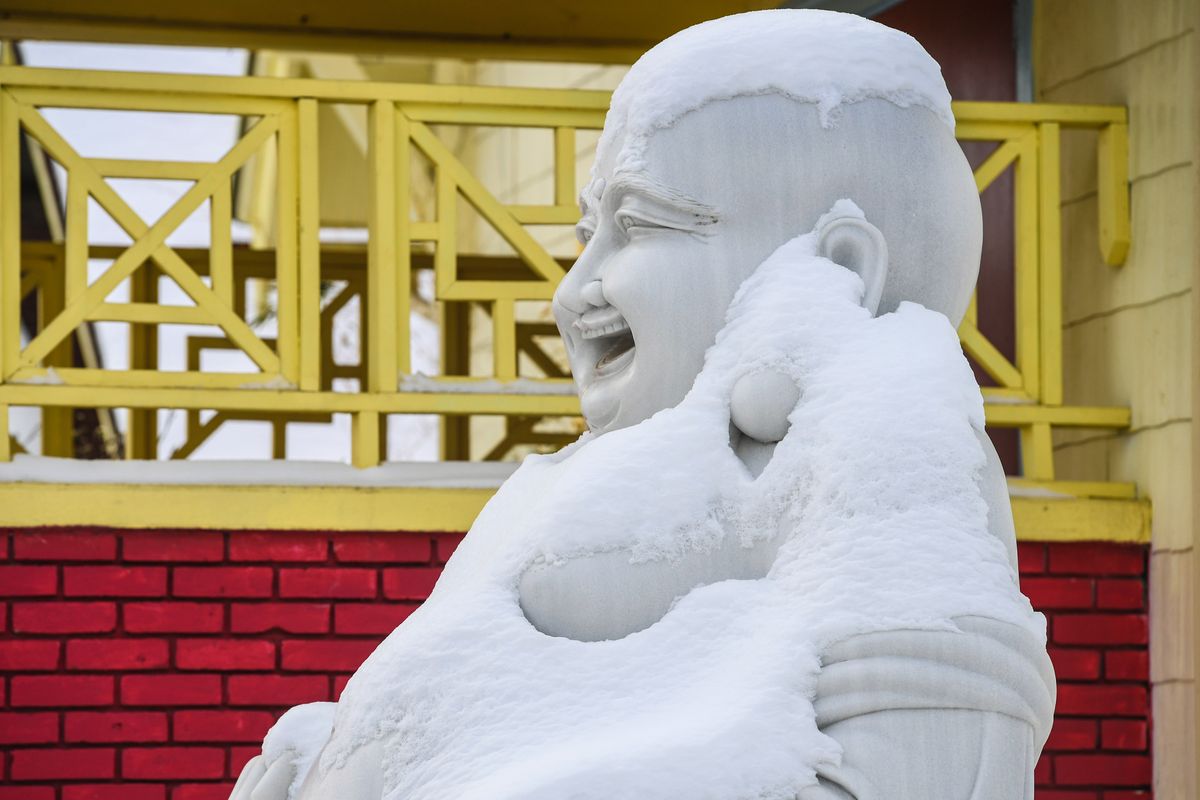
Ironically, a little more than a week before, much of the Pacific Northwest remained kicked into full gear winter by a giant Arctic air mass that originated at the North Pole. Back-to-back storm systems brought frigid temperatures, wind chill advisories, heavy snow and ice storms.
In a short time , the main driver of our region’s weather shifted from a polar plunge to the Pineapple Express. And what a difference it made. Although many of us welcomed the warmer temperatures, along with a break from shoveling snow and chipping ice, the sudden weather change brought its own set of challenges.
In higher elevations, a mix of rain and snow fell on top of the substantial snow that had fallen during the Arctic cold snap. In a public alert, the Northwest Avalanche Center issued a rare warning for extreme avalanche danger for the east central Cascades, a region that extended from near Ellensburg to the south and past Wenatchee to the north. “During extreme danger, we may see avalanches occur where they don’t often happen,” the agency warned on Sunday.
Tragically, a Washington State Trooper was killed in an avalanche Monday afternoon while snowmobiling north of Cle Elum. Also, an avalanche Monday night closed Stevens Pass for the second time in two days. Warm temperatures and precipitation also contributed to a number of rivers swelling to flood level across the state.
A cold front moved in Tuesday, scouring out the effects of the atmospheric river by calming the winds and lowering temperatures to closer to normal. We even got glimpses of sunshine. Rain and snow are expected to return today and tomorrow.
Will March, a month noted for weather irony that arrives in just four days, come in like a lamb or a lion? The National Weather Service’s Climate Prediction Center is leaning toward the latter.
———
Nic Loyd is a meteorologist in Washington state. Linda Weiford is a writer in Moscow, Idaho, who’s also a weather geek. Contact: ldweiford@gmail.com.