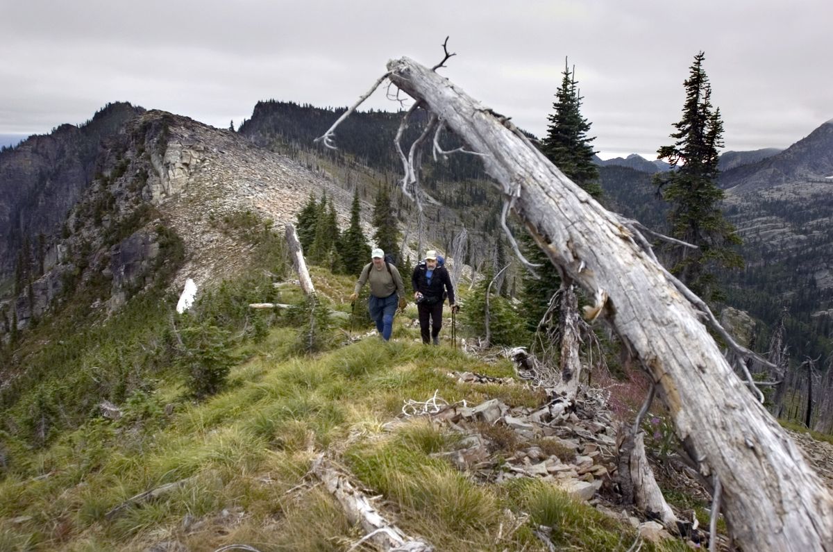
Day-hiking Lake Pend Oreille
Directions to 12 trailheads
1 Schweitzer: From Sandpoint, drive 1.3 miles north on U.S. 95, turn left onto Schweitzer Cut-Off Road (across from Burger King). Turn right onto North Boyer Road; turn left at the Schweitzer sign and drive 9 miles up to the resort.
2 Mickinnick Trail: From Sandpoint, drive 1.3 miles north on U.S. 95, turn left onto Schweitzer Cut-Off Road (across from Burger King). Turn right onto North Boyer Road; turn left at the Schweitzer sign. Go 0.5 miles and turn left on Woodland Drive. Go 0.7 mile to the trailhead.
3 Gold Hill: From U.S. 95 just south of Sandpoint’s Long Bridge over the Pend Oreille River, turn east on Bottle Bay Road. Drive 4.7 miles to trailhead. Parking available for six vehicles.
4 Round Lake State Park: From U.S. 95 about 10 miles south of Sandpoint, turn west on Dufort Road and drive 2 miles to the park entrance.
5 Mineral Point: From Sagle, head east on Sagle Road. Drive 9 miles to Garfield Bay. Turn left on the first road past the public boat launch and go about 0.2 mile. Turn right onto Mineral Point Road 532 and follow signs to trailhead. Road 532 also provides access to Green Bay Campground Road 2672 and Lost Lake Trail 81.
6 Bernard Peak (Farragut State Park): From Coeur d’Alene, drive 18 miles north on U.S. 95. At Athol, turn east on Highway 54. Go 4 miles to park entrance. Get details at Visitor Center.
7 Chilco Mountain (south trailhead): From Coeur d’Alene at Appleway Avenue, drive 10 miles north on U.S. 95 and turn east on Ohio Match Road (milepost 441.1). Take mileage reading here and continue on Ohio Match Road, which becomes gravel. At 3 miles, bear left at junction with Tree Farm Lane, cross cattle guard, and continue on Forest Road 206. At 7 miles, turn left (north) at T (near gauging station) onto Forest Road 437 along East Fork of Hayden Creek. At 14 miles, go around sweeping left turn (past steel powerline tower), then make immediate left turn onto Road 406, which leads nearly 1 mile to the trailhead at elev. 4,320 feet.
8 Packsaddle Mountain: From Highway 200 at Clark Fork, turn south onto Stevens Street, cross the Clark Fork River and turn right. Go 2.5 miles and follow Johnson Creek Road 278 about 7 miles. Then go 3.5 miles on Johnson Divide Road 1066. Turn right on High Drive Road 332 and go 5 miles to Scenic Drive Road 1073 and the trailhead (just across the road from start of Branch N Gold Creek Trail 111).
9 Green Monarch Ridge: From Highway 200 at Clark Fork, turn south onto Stevens Street, cross the Clark Fork River and turn right on Johnson Creek Road toward Lakeview. Drive 2.6 miles and bear left at a Y onto Lakeview Road 278 toward Johnson Saddle. Go another 7.1 miles and bear right at a Y a short way to a parking area.
10 Scotchman Peak: From Highway 200 at Clark Fork, turn north at Lightning Creek Road and go 1.2 miles (do not take Road 419) to fork in road. Bear left and go 1.4 miles. Turn right and go 1 mile. Turn left and go 0.5 mile. Turn left and go 2.1 miles. Turn left to the trailhead. (Total is 6.3 miles from Highway 200.)
11 Moose Lake: From Sandpoint, drive 12 miles and turn north Trestle Creek Road 275 (just east of milepost 42). Go 16 slow miles and turn left on Lightning Creek Road 419. (Some people turn left too soon and go to Lunch Peak lookout.) Continue on Road 419 for 1.5 miles and turn right onto Moose Creek Road 1022. Go 2 miles to the trailhead for trails 24, 36 and 237.
12 Lake Darling: From Sandpoint, drive 12 miles and turn north Trestle Creek Road 275 (just east of milepost 42). Go 16 slow miles and turn left on Lightning Creek Road 419. (Some people turn left too soon and go to Lunch Peak lookout.) Continue 1 mile on Road 419 to the trailhead for Trail 52.