State troopers respond to 39 crashes related to snow; trooper’s car hit but no injuries
After 5 a.m. Tuesday, Washington State Patrol troopers responded to 39 crashes caused by icy roads from an overnight storm, most of which were single-car slide-offs, WSP spokesman Jeff Sevigney said.
Sevigney’s patrol car accounts for one of those crashes.
Sevigney was putting down flares for a crash 6 miles south of Spokane Valley at the intersection of State Route 27 and Palouse Highway on Tuesday morning.
“The roadway conditions were pretty icy,” he said.
A car lost control and sideswiped his patrol car. Sevigney was standing outside of the car and no one was injured, he said, and his car had minor damage, mostly to a taillight and rear fender.
The driver who hit his car wasn’t cited, Sevigney said.
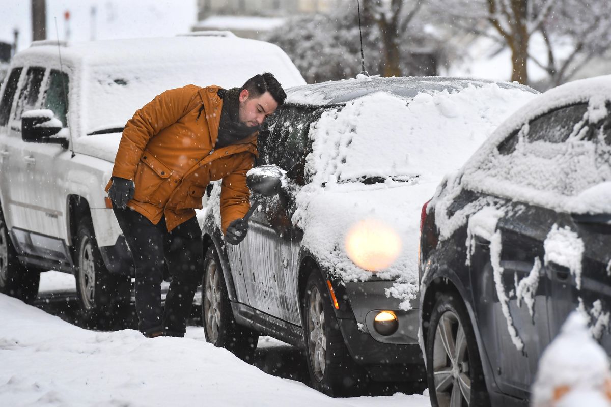
The snowstorm didn’t have a major impact on Tuesday morning’s commute in Spokane.
Traffic cameras showed highways mostly wet and not covered with snow from 7:30 a.m. onward. It was the same for Interstate 90, which showed no snow sticking on the highway.
Weather on Tuesday
Spokane got about 2 inches of snow Tuesday, part of which melted but was replaced by light snow from snow showers up until about midnight, NWS meteorologist Joey Clevenger said.
“It’s kind of hard to measure because it was melting while it was hitting surface,” he said.
Melted snow was expected to refreeze overnight, making Wednesday morning’s commute potentially hazardous, he said.
In the surrounding areas, some school districts reported delays and closures. Moses Lake and Lake Pend Oreille school districts both closed because of snow, while Colville and Lind-Ritzville schools both delayed the start of classes two hours. A full list of closures can be found online at spokesman.com.
Monday was the 37th day in a row with below-normal temperatures in Spokane.
The snow depth currently sits at the second-highest amount on record at 13 inches, according to NWS meteorologist Amanda Young. If the snow accumulates to 16 inches without melting, it will tie the record from 1969, but NWS will wait until midnight to confirm it, Young said.
“We’ll have to see tomorrow,” she said on Tuesday.