Weathercatch: Dry times in spring – what happened?
With April’s remarkably dry exit, will May bring some much needed hard rains to Washington state?
Not unless a large high-pressure ridge anchored off the West Coast either breaks apart or slides out.
The large high-altitude area of high pressure located over the eastern Pacific Ocean is responsible for the warm, dry weather across many of the Western states since early March. Washington, Idaho and Oregon are among them.
April was the seventh warmest on record in Washington, preceded by the 11th driest March, according to the National Weather Service. Most of the precipitation that’s fallen over the region occurred during winter, with a big surge in February.
The air inside a high-pressure ridge sinks and warms, acting like a buffer that prevents widespread storm systems from getting through.
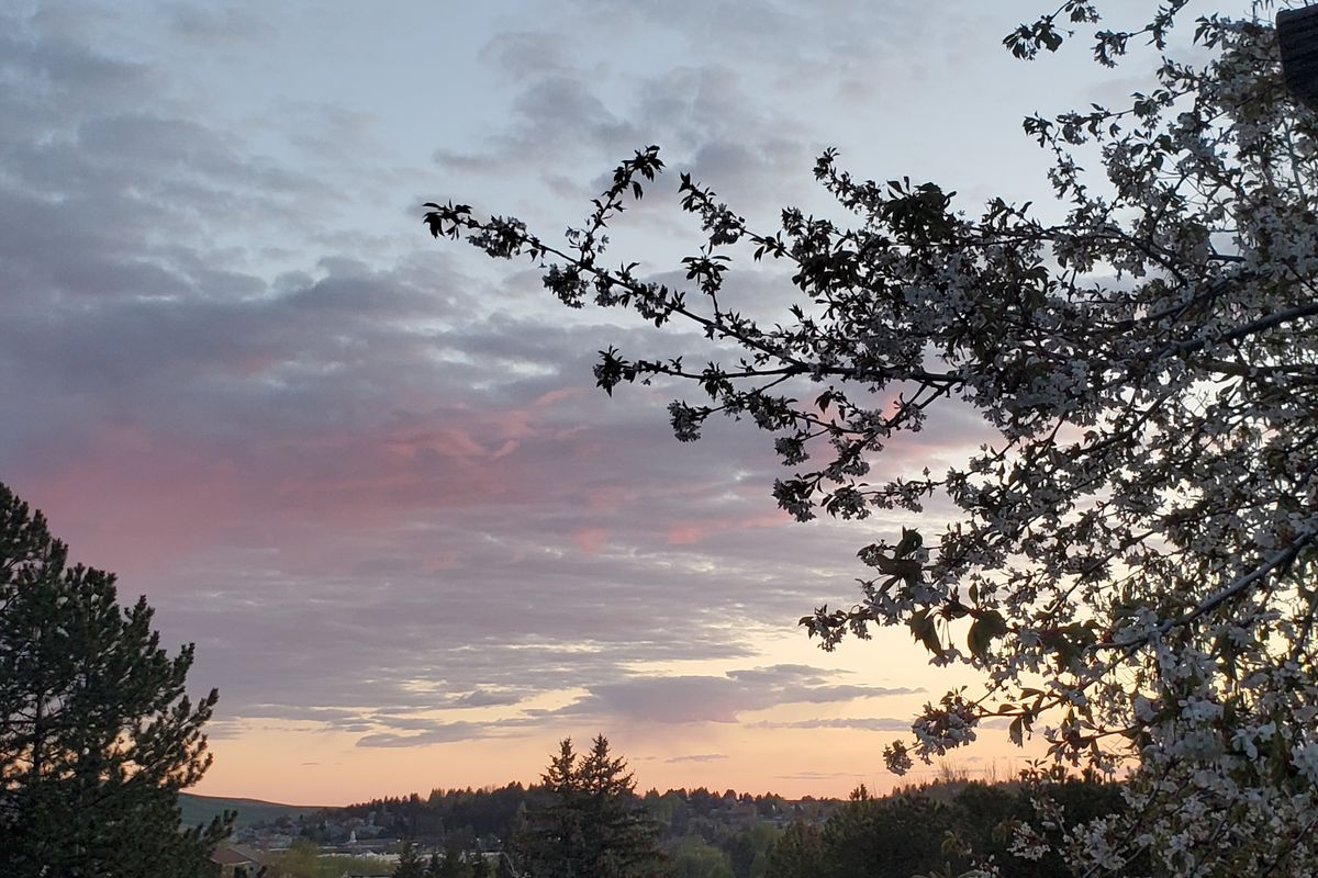
People feeling cooped up by the winter blahs and a pandemic embrace the mild spring weather while experts worry it could portend a bad wildfire season.
“We’ve seen an intensification of dryness since February, and particularly in the past 60 days,” Montana state climatologist Kelsey Jencso said during a Pacific Northwest regional drought discussion last week.
“It is shaping up to be a pretty dry spring,” Jencso said.
A healthy snowpack in the Cascades is beginning its slow melt into streams and reservoirs, but the lack of rain still impacts soil moisture and ground cover.
Already, parts of the state have seen a high number of small but fast-moving brush fires, leading to temporary burn restrictions.
The dry spring pushed most of Eastern Washington, including the Spokane area, into moderate drought conditions, according to the U.S. Drought Monitor.
Meanwhile, the Columbia Basin, which includes Yakima and Benton counties, is classified as being in a severe drought with record-low precipitation in the region.
In Spokane, rainfall ran about an inch below normal in both March and April, making the period the second driest on record for those two months. Though there were patches of rain, it wasn’t enough to erase the deficiency.
So what’s next?
As we said, unless that stubborn high-pressure ridge suddenly dissipates or moves out, we’re not likely to see anything other than a few stray showers during the first half of May.
It’s too soon to know if we’ll get a good dousing during the latter half of the month.
The positive effect of this stalled ridge is the frequent appearance of sunshine, along with radiating warmth.
Last Thursday notched the warmest day of the year when high temperatures reached 78 degrees in Spokane and Moscow-Pullman and an impressive 83 in Lewiston-Clarkston.
This Thursday could approach those temperatures, so you might try to make time to get outside.
A cooling front predicted to move in Thursday night should bring breezy conditions and maybe even a chance of some of that much-needed rain.
Expect high temperatures to drop into the upper 50s on Friday, followed by the low 60s on Saturday and into Sunday.