Legislative districts in Spokane County could look different in 2022 as redistricting process begins
OLYMPIA – The five legislative districts in Spokane County may look a bit different under new proposals released Tuesday by the state redistricting commission.
Every 10 years, the commission is tasked with redrawing the boundaries for the 49 legislative and 10 congressional districts in the state. Each of the four commissioners – two Democrats and two Republicans – released their proposed legislative district maps on Tuesday.
Each commissioner’s map reflects different interests, but most say they focused on uplifting underrepresented populations and keeping communities, specifically tribes, together. The two Republican commissioners also said their goal was to increase the number of “competitive districts” in the state, meaning those within 3% of a 50-50 split between the two parties in the 2020 election.
The four commissioners must find a way to agree on a new map by 11:59 p.m. on Nov. 15. All proposed maps and descriptions from each commissioner can be found at redistricting.wa.gov.
For Spokane, a big difference between either parties’ maps is how many districts are included in the county.
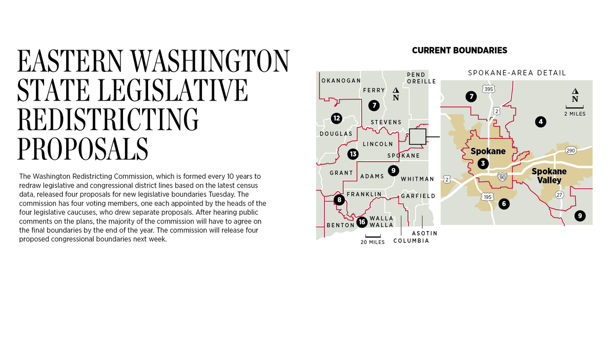
Spokane County has three districts that are fully contained with in its boundaries – the 3rd, 4th, 6th – and two that include parts of Spokane County along with several other counties – the 7th and 9th.
The proposals from the two Republican redistricting commissioners, former Sen. Joe Fain and former Rep. Paul Graves, reduce that to three fully contained districts and one that is partly in Spokane County. The proposals from the two Democratic commissioners, April Sims and Brady Walkinshaw, keep three fully contained districts and two partially contained districts, but they do it in different ways.
Third district
All of the proposals expand the 3rd Legislative District, the only district fully contained in the City of Spokane. In most cases, they move the boundary south, including all of the South Hill and more of Northwest Spokane.
Fain’s proposal keeps Indian Trail and the areas around Whitworth in the 6th. The other three proposals put Hillyard and Nevada-Lidgerwood in the 6th, continuing the practice of the past two redistrictings of having the 6th wrap around the 3rd on three sides.
Ninth district
Both of the Republican proposals remove the 9th District, which in a sense costs Spokane County some political clout, as it is represented by Sen. Mark Schoesler, one of the most senior GOP senators and a former Caucus Leader.
Schoesler said Tuesday he knew he would have to lose something in his district because of the changing population size for the districts. Based on 2020 census data, the commission must draw legislative boundaries that contain roughly 157,251 people – about 20,000 more people than the current districts.
Schoesler said he wasn’t sure if the loss in his district would come from Spokane, Adams or Franklin counties.
“I always knew it was a possibility, but it wasn’t my choice,” he said. “I certainly didn’t ask to lose Spokane County.”
Fourth district
The city of Spokane Valley continues to be the heart of the 4th District in all four proposals. The differences center on how much of the county either north or south of the Valley is in that district.
Fain’s proposal stretches from Mount Spokane to just north of Mica.
Sims’ proposal goes from just north of Spokane Valley all the way south to the Spokane County line, splitting south Spokane County with the 9th a few miles east of Highway 195.
Graves’ proposal goes from Peone to the area north of Mica, and as far west as Town and Country.
The Walkinshaw proposal has Highway 290 as its northern boundary and goes as far west as Moran Prairie, taking in some city of Spokane precincts.
Sixth district
The 6th District changes drastically among all four proposals.
The district, which was once contained on Spokane’s South Hill, is mostly outside the city of Spokane in Fain’s proposal, and takes in all of South Spokane County, the West Plains and all of Lincoln County.
Walkinshaw has the 6th on the southern edge of the city of Spokane, and includes the West Plains and the area up to Nine Mile Falls.
Sims brings the 6th farther east, to the edge of the city of Spokane Valley, and includes Glenrose.
Graves has the 6th taking in all of South Spokane County, the West Plains and bumping up against the southern edge of the City of Spokane and the unincorporated areas south of Spokane Valley.
All of the proposals have most of the northern part of Spokane County in the 7th District, with the differences involving how much of the suburbs outside the city of Spokane and Spokane Valley they take in.
Political implications of proposed maps in Spokane County
Spokane County has one heavily Democratic district, the 3rd; three heavily Republican, the 4th, 7th and 9th; and one that is not quite so heavily Republican, the 6th.
Before the last redistricting, the 6th was a swing district, with members of both parties in its delegation. It was redrawn to make it more Republican, and Democratic candidates have come close but not won a legislative seat since then.
Fain’s and Graves’ maps make three heavily Republican districts, the 4th, 6th and 7th, in Spokane County, and one heavily Democratic district, the 3rd. The 6th, which is now more rural than a mix of urban, suburban and rural, would be unlikely to elect a Democrat in current conditions.
Sims’ and Walkinshaw’s maps would probably keep the one Democrat, three heavily Republican and one not-so-heavily Republican status quo, although Sims has fewer rural and fewer urban precincts, but more suburban ones. They both put Cheney, which tends to vote Democratic, in the 9th, giving that district two of the state’s major universities to represent, but that’s unlikely to flip that mostly rural district from Republican to Democratic in legislative races.
How to participate
The public has numerous ways to comment.
The commission will hold a public comment meeting virtually at 7 p.m. on Oct. 5 at which members of the public can share with the commission their thoughts on the legislative maps. To sign up, visit the redistricting.wa.gov.
Members of the public can also comment directly on the proposed maps, which can be found at redistricting.wa.gov/commissioner-proposed-maps.
The public can also draw their own map for consideration, but it must be submitted by Oct. 22 for full consideration.
Senate Majority Leader Andy Billig, who represents the 3rd District in Spokane, said his focus on redistricting is always to keep communities of interest together, so no community has a strong voice while another is diluted.
“The first maps are the opening of a negotiating process that starts now and goes through Nov. 15th,” Billig said. “Nobody should get too concerned or too excited yet.”
Each commissioner will release their proposed congressional district maps on Tuesday.