Spokane River primer: Hone your knowledge about the river in our midst
How well do you know the Spokane River? The river plays a critical role in our shared history, culture and present-day quality of life, but many of us often forget that a river flows through our city.
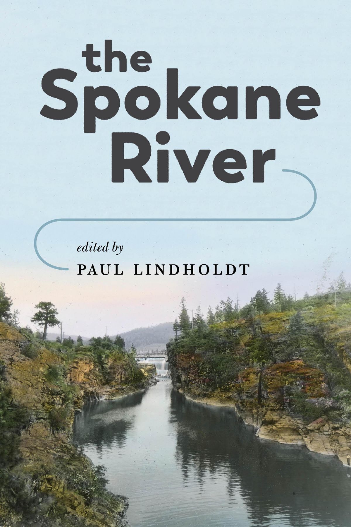
A recently released anthology, “The Spokane River,” is the topic of Wednesday’s Northwest Passage’s Book Club evening at The Spokesman-Review, featuring the book’s editor, Paul Lindholdt, in conversation with reporter Eli Francovich. Hone your knowledge with this Spokane River primer.
Length: 111 miles, flowing from Lake Coeur d’Alene to Lake Roosevelt, where the Columbia River is impounded by Grand Coulee Dam. The river’s lower 29 miles are known as the Spokane Arm of Lake Roosevelt.
Geography: The 2,400-square mile watershed encompasses mountains, scablands, farms and cities. It includes parts of five Washington counties – Spokane, Stevens, Pend Oreille, Lincoln and Whitman – and three Idaho counties, Kootenai, Benewah and Bonner.
Origin story: Archeological surveys indicate people were living along the river 8,000 years ago.
Pauline Flett, a native Salish speaker, told a story about the river’s origins during the 1998 taping of “A Prairie Home Companion” at the Spokane Opera House.
An earthquake ravaged the land, followed by a terrible flood. A boy and girl took shelter on Mount Spokane. When the flood passed, they saw a flowing stream with beautiful waterfalls and rapids.
There were salmon in the river, which gave hope to the people. They became the Upper, Middle and Lower Spokanes, based on where they lived along the river.
The falls: James N. Glover, “the father of Spokane,” described his first view of the falls along the river in a series of memoirs he wrote for the Spokane Daily Chronicle.
In 1873, he slept in unfinished log cabin on what is now Spokane Falls Boulevard, “with the roar of the falls in my ears.” The next day, Glover climbed out on a rock overlooking the river. He said he “gave myself completely over to admiration and wonder at the beautiful clear stream that was pouring in the kettle and over the falls.”
The aquifer: The Rathdrum Prairie-Spokane Valley aquifer provides drinking water for more than 500,000 of the region’s residents. The Spokane River is connected to the 370-square mile aquifer, which flows through gravels laid down during the Missoula Floods at the end of the last ice age.
Between Stateline and the Sullivan Road Bridge, the river feeds the aquifer, losing about half of its flow to the underground gravels. At Sullivan Road, however, swimmers and people floating the river start noticing pockets of cold water.
Chilly water from the aquifer (about 49 degrees) percolates into the river, recharging its flows and providing cool water for native redband trout.
During the summer, heavy pumping from the aquifer for lawn watering reduces river flows. The city of Spokane recently launched a “Spokanescape” program, offering incentives for people to convert turf to drought-resistant plants and mulch.
Cleanup: In 1935, the state health board declared the Spokane River to be “grossly polluted” from raw sewage, but it would take decades to get a state-of-the-art treatment plant built.
In 1977 (five years after the federal Clean Water Act was passed), Spokane’s new treatment plant won a national award.
More recent cleanup efforts have focused on reducing phosphorus in the river to cut down on algae growth and keeping long-lived industrial pollutants out of the river.
Expo ’74: The first environmentally themed world’s fair helped Spokane residents rediscover the river.
In the 1960s, downtown business leaders and community members rallied around the idea of riverfront improvements. Part of the vision included turning Havermale Island into open, public space, but it would require re-locating rail yards and tracks that cut off access to the river and its falls.
Expo ’74, with the theme of “Protecting Our Environment,” became the impetus for acquiring public property along the river. Land was purchased and donated for the site of the world’s fair, which drew more than 5 million visitors.
As soon as Expo ’74 was dismantled, work began on transforming the site into Riverfront Park, which remains one of Spokane’s top tourist destinations.
Power generation: Avista Corp. operates six dams on the river: Post Falls, Upper Falls, Monroe Street, Nine Mile, Long Lake and Little Falls. Together, the dams produce about 10 percent of the utility’s electricity.
Upriver Dam is owned and operated by the city of Spokane’s water department. The Spokane River dams were built between 1890 and 1922.
June hogs: Before the dams cut off access to habitat, chinook salmon spawned in the river. They returned from the ocean in early summer and weighed as much as 80 pounds. “The salmon hung from the horn of the saddle and stretched toward the ground,” Margo Hill, a member of the Spokane Tribe, quoted her grandmother as saying.
Livingston Stone, the U.S. Commissioner of Fish and Fisheries, wrote about his 1883 observations of harvests on the river.
“The Spokane always has been famous as a salmon river … Indians from all quarter assemble in the fall on this river and at the mouth of the Little Spokane to get their winter’s stock of salmon,” he wrote.
Redbands: Though the salmon are gone, the river still has a signature fish: native redband trout.
The redbands are a subspecies of rainbow trout, known for the distinctive band from gills to tail that ranges from rosy to brick red. Anglers prize the fishes’ feisty attitude. Redbands’ sensitivity to water quality makes them barometers of stream health.
Whitewater: Downstream from downtown, the river contains stretches of whitewater. The Bowl and Pitcher and Devil’s Toenail are Class III rapids.
During high flows, people like to get on the river between the TJ Meenach Bridge and Plese Flats, but novice rafters shouldn’t attempt this stretch by themselves.
You can sign up for a guided tour with a professional outfitter. Or, you can get a great view of the Bowl and Pitcher from the footbridge at Riverside State Park.
Riverside State Park: One of Washington’s largest state parks occupies 11,162 acres along the Spokane and Little Spokane rivers. Besides recreation, the Spokane House Interpretive Center at Nine Mine Falls tells the history of early fur trade in the area and its effect on Native Americans.
The anthology: Edited by Paul Lindholdt, “The Spokane River” is a collection of essays and other literary contributions that tell the story of the waterway from its Ice Age origins to contemporary environmental issues and popular recreation activities.
Sources for this story: Spokesman-Review archives; staff research; “The Spokane River,” Northwest Power and Conservation Council and Historylink.org.